Understand conditions locally
Move beyond a single fixed viewpoint. RANGER’s sensing approach is being developed to help teams investigate how conditions vary across a site.
 Become a pilot partner
RANGER / THE TECHNOLOGY
A geospatial intelligence rover that connects observations with understanding.
Discover how sensing, remote operation and maps can help teams investigate the world around them.
THE CONNECTING PLATFORM
RANGER brings field observations and their locations into a shared view. Teams can explore what was observed, where it happened and when.
Select a component to explore its role.
01 / FOLLOW AN OBSERVATION
A sensor value becomes useful when its location, time and source travel with it. Select each stage to follow the information through RANGER.
01 / ACQUIRE
Start with a question about a place. Suitable sensors gather observations that help teams investigate conditions on the ground.
Synthetic value for this explainer; not a field measurement.
THREE CONNECTED CAPABILITIES
Move beyond a single fixed viewpoint. RANGER’s sensing approach is being developed to help teams investigate how conditions vary across a site.
Connect each observation with its location, time and source. Explore local detail alongside maps and wider landscape context.
Review observations, compare places and identify where a closer look could help. Camera views and remote controls support the operator’s view of the field.
02 / SPATIAL CONTEXT
Switch layers and select an observation. A location, a reading and a source each answer a different question. A live position would not automatically make every attached reading live.
Rover path and observations visible.
EXAMPLE / OBSERVATION A
The value is present and its source is explicit. This entire record is synthetic, including its position.
Explore how location, timing and source change the meaning of an observation. All readings and map layers in this demonstration are illustrative.
CONFIDENCE IN THE FIELD
A missing sensor value should remain missing. An old position should appear stale. The interface distinguishes unavailable information from a valid zero.
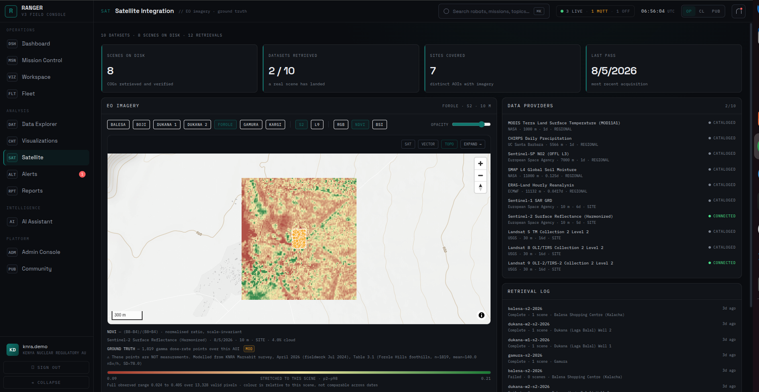
Satellite imagery can add a wider view around local observations. We are exploring how ground surveys and landscape context could help teams investigate environmental change.
Different questions call for different instruments. We are developing a flexible sensing approach, with field checks to establish what each observation can tell us.
We are exploring ways to make fieldwork easier to plan and interpret. More autonomous surveys remain a research direction, with further development and testing ahead.
BITS AND BYTES FOR QUALITY LIVES.